Montreal is under two weather alerts on Thursday as Environment and Climate Change Canada (ECCC) is warning of a severe thunderstorm watch and that the hot weather we have been experiencing is set to continue.
According to the weather agency, conditions are favourable for the development of dangerous thunderstorms capable of producing strong wind gusts, large hail and heavy downpours today.
“There is a risk of local flash flood,” ECCC said. “Nautical activities may be hazardous due to sudden, severe wind gusts over bodies of water.”
“Utility outages are possible,” they added. “When thunder roars, go indoors!”
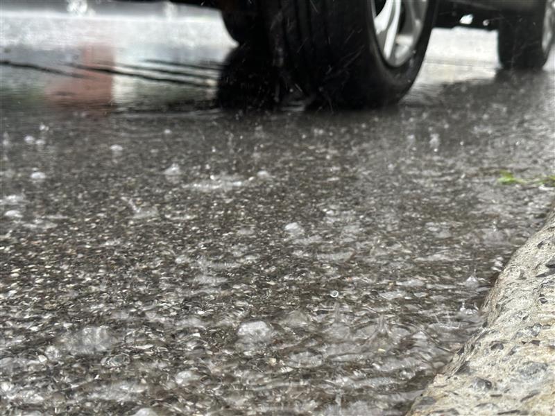
On Sunday, after passing through the Laurentians, Lanaudière, Montérégie, Laval, and Quebec City, Montreal saw as much rain in a few hours as it does for all of July due to heavy rains that impacted several highways and homes across the city.
#READ: ‘Risk of local flash flood’: Severe thunderstorm watch & heat warning in Montrealhttps://t.co/AvSRtg75ip pic.twitter.com/4b9KfMEnSi
Related:
“Lightning kills and injures Canadians every year,” the weather agency said. “Strong wind gusts can damage trees, buildings and overturn vehicles.”
This wet weather is being mixed with the hot temperatures Montrealers have been experiencing this week — with a heat warning continuing into today.
Although temperatures won’t rise above 30°C, ECCC explained that humidex values will remain high at around 35°C until Thursday evening.
“A real change in airmass will take place this evening and temperatures will drop markedly,” they said. “Take action to protect yourself and others, extreme heat can affect everyone’s health.”
Adding that people should determine if you or others around you are at greater risk of heat illness.
Check on older adults, those living alone and other at-risk people in-person or on the phone multiple times a day, they explained.
“Watch for the early signs of heat exhaustion in yourself and others,” ECCC said.
Signs of heat exhaustion, the weather agency said, may include headache, nausea, dizziness, thirst, dark urine and intense fatigue.
“Stop your activity and drink water,” they explained. “Heat stroke is a medical emergency! Call 9-1-1 or your emergency health provider if you, or someone around you, is showing signs of heat stroke which can include red and hot skin, dizziness, nausea, confusion and change in consciousness. While you wait for medical attention, try to cool the person by moving them to a cool place, removing extra clothing, applying cold water or ice packs around the body.”
The weather agency also recommends to:
Related:
The weather agency explained that heat warnings are issued when very high temperature or humidity conditions are expected to pose an elevated risk of heat illnesses, such as heat stroke or heat exhaustion.
To end the work week, skies are expected to clear with sunshine to beam over the city on Friday.
A daytime high of 25°C is expected, but it should feel more like 27°C with the humidex.
Then a mix of sun and cloud to start the weekend, a high of 25°C for Saturday and a 70 per cent chance of showers in the evening.
That same temperature of 25°C is set to remain for Sunday — cloudy with 70 per cent chance of showers in the day this time.
Then sunny skies for Monday with a high of 23°C.