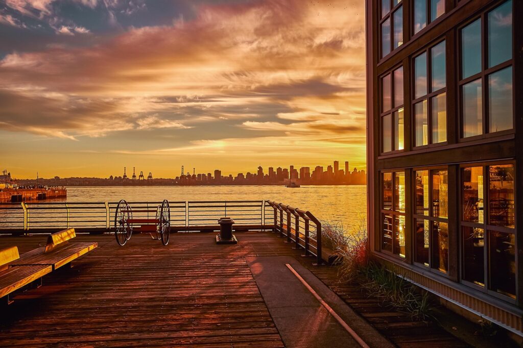
February in Vancouver is looking surprisingly snow-free this year, with no snowfall officially recorded at the city’s airport weather station. If this trend continues, it could mark the first winter without snow in 43 years.
Meteorologist Ken Dosanjh from Environment Canada emphasized that while winter isn’t over yet, there are no signs of snow at sea level in the immediate forecast. If Vancouver stays snow-free until spring, it would be the first time since the winter of 1982-1983.
The unusual warmth is attributed to an “unseasonably warm air mass,” causing daily temperature records to be broken in several areas of British Columbia. The North Shore Mountains in Metro Vancouver remain lush and green, with even Grouse Mountain’s ski runs experiencing temperatures of 12 degrees Celsius on a recent Wednesday, despite only a few of its runs being open.
Dosanjh noted that although there were reports of wet snow in early January, none had stuck or accumulated at the Vancouver International Airport weather station. Recent atmospheric rivers have not only brought rain but also raised freezing levels, aiding in the melting of any snow in the region.
Looking ahead, Dosanjh mentioned that there are no indications of sea-level snow for the next nine days, suggesting a potential wait until mid to late February for a chance of snow. Despite some regional weather variations, such as a snowfall warning on Vancouver Island, snowfall accumulation across the South Coast of B.C. is below average.
In a surprising move, Metro Vancouver Regional Parks reopened the Grouse Grind hiking trail early due to favorable weather conditions, deviating from the usual closure until April. Meanwhile, the provincial river forecast center issued a flood watch for the North Coast, cautioning residents about potential heavy rainfall and snowmelt run-off.
As Vancouver braces for an unusually snowless winter, concerns about flooding and weather alerts are keeping residents and officials on high alert.
Keyphrase: Vancouver winter snowfall